
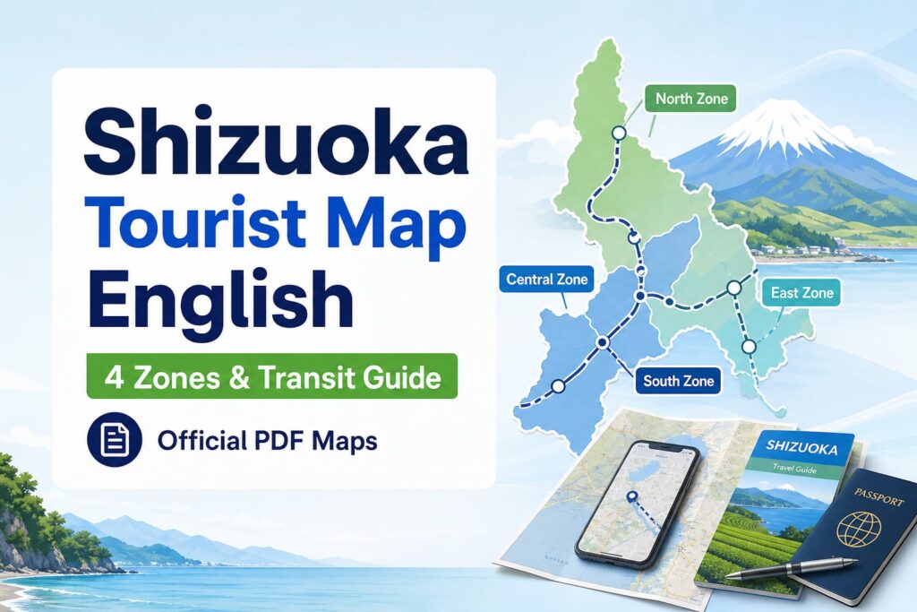
Download official Shizuoka tourist maps in English. Explore the 4 travel zones, regional transit passes, and offline digital guides for easy navigation.
 執筆者:Hikaru SonedaCEO
Finding a reliable Shizuoka tourist map English guide is frustrating when broken links, outdated brochures, and Japanese-only portals leave your travel route completely uncertain.
This comprehensive guide delivers official downloadable PDF maps, regional transit routes, interactive digital navigation, and area-specific itineraries across Shizuoka’s four distinct travel zones.
Where can you download official Shizuoka tourist maps in English?
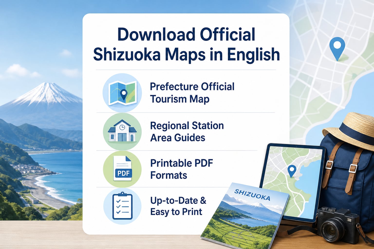
Official tourism bodies provide verified Shizuoka tourist map English resources to help international travelers navigate prefecture-wide attractions without language friction. Downloading verified PDF maps before arrival guarantees seamless navigation across regional rail stops, mountain scenic spots, and coastal pathways.
Many international visitors encounter expired regional portals or untranslated brochures when searching online for destination materials. Travelers can obtain dependable English city guides directly through major transportation hubs, regional tourism promotion offices, and curated distribution points throughout Shizuoka Prefecture.
- Prefectural Tourism Promotion Gateways: Prefecture-wide English PDF brochures feature comprehensive regional maps highlighting major train corridors, bus lines, and cultural landmarks across all four geographic zones.
- JR Shizuoka Station Tourist Information Center: Located right at the North Exit of JR Shizuoka Station, this visitor center provides printed English sightseeing maps, local bus timetables, and walking itineraries.
- Municipal Tourism Organization Portals: Local city associations from Mt. Fuji, Izu, Shizuoka City, and Hamamatsu publish dedicated PDF walking maps focused on culinary spots, historic sites, and scenic lookouts.
- Multilingual Regional Tabloids and Booklets: Independent publications such as the English tabloid FIEJA distribute specialized regional guides covering local culinary experiences, cycling paths, and cultural heritage.
参考: official Shizuoka tourist map English resources
What highlights are featured across Shizuoka’s four distinct travel zones?
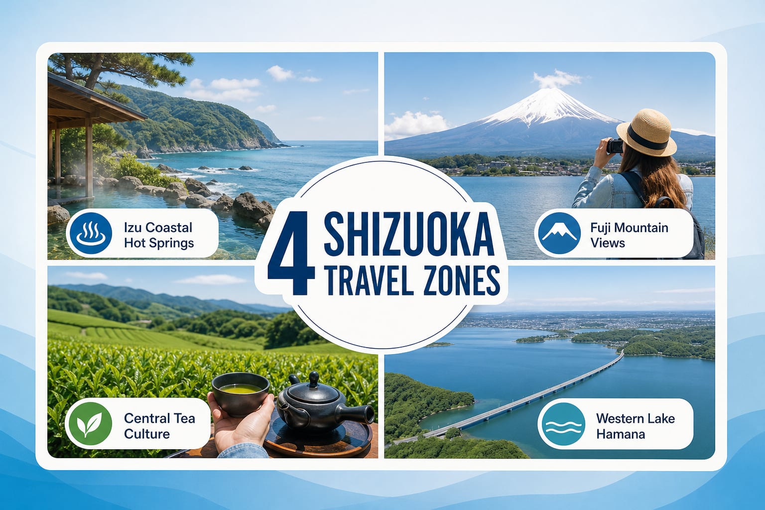
Shizuoka Prefecture splits naturally into four distinct travel zones that each provide unique cultural landscapes, outdoor activities, and culinary heritage. Understanding the boundaries of each zone simplifies travel planning and ensures you do not waste transit hours moving between distant regions.
Every zone connects to major transportation lines, allowing travelers to experience snow-capped volcanic vistas, rugged ocean coastlines, historic castle towns, and scenic freshwater lakes within a single trip. Using dedicated zone maps lets you focus your daily itinerary around specific regional highlights.
- Fuji Area (Northeastern Shizuoka): Home to iconic viewing spots around Fujinomiya, Gotemba, and the foothills of Mt. Fuji, featuring heritage shrines, green tea plantations, and scenic outdoor vantage points.
- Izu Peninsula (Eastern Shizuoka): Renowned for coastal onsen towns like Atami, Ito, and Shimoda, boasting rugged ocean cliffs, hot spring resorts, and fresh coastal seafood dining.
- Central Shizuoka (Suruga and Shizuoka City): Centered around Shizuoka City and Shimizu Port, featuring Sunpu Castle Park, Nihondaira plateau, Miho no Matsubara pine grove, and historic Tokaido post towns.
- Western Shizuoka (Enshu and Hamamatsu): Anchored by Lake Hamana, Hamamatsu Castle, and Kakegawa, famous for musical instrument manufacturing history, eel cuisine, and active cycling loops around the lake.
参考: four distinct travel zones
How can travelers navigate Shizuoka using transit maps and regional rail passes?
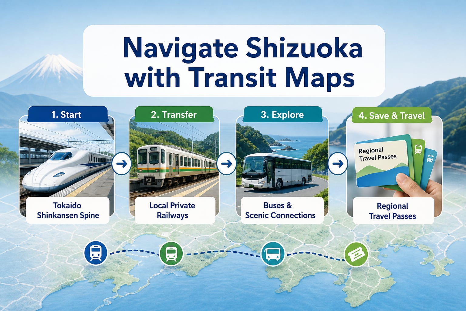
The Tokaido Shinkansen bullet train forms the central transit spine through Shizuoka, with six bullet train stations connecting the prefecture east to west. Pairing bullet train schedules with local private railways provides direct access to secluded hot spring valleys and coastal lookouts.
Regional rail passes offer cost-effective transportation across local train lines and connecting municipal bus networks. Travelers should study route connections thoroughly to choose passes that match their planned destinations and avoid paying individual point-to-point fares.
Key Transit Passes for Exploring Shizuoka
| Travel Zone | Key Transit Hubs | Connecting Rail and Bus Lines | Recommended Travel Style |
|---|---|---|---|
| Fuji Area | Mishima, Shin-Fuji, Fujinomiya | JR Minobu Line, Fujikyu Bus | Scenic bus routes and mountain sightseeing |
| Izu Peninsula | Atami, Ito, Izukyu-Shimoda | JR Ito Line, Izukyu Railway, Tokai Bus | Coastal train journeys and onsen resort stays |
| Central Shizuoka | Shizuoka, Shimizu | JR Tokaido Line, Shizutetsu Line, Suruga Ferry | Urban walking, castle grounds, and bay ferries |
| Western Shizuoka | Hamamatsu, Kakegawa | JR Tokaido Line, Tenryu Hamanako Railroad, Entetsu | Lakeside cycling and historical post town walks |
参考: Tokaido Shinkansen bullet train
How do you access interactive digital maps and offline travel guides in Shizuoka?
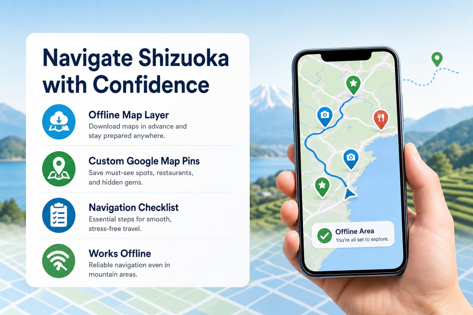
Combining downloadable PDF maps with interactive digital mapping tools guarantees reliable navigation through remote valleys where cellular reception may fluctuate. Pre-loading custom map pins on Google Maps allows you to track walking routes, bus stops, and recommended restaurants effortlessly.
Independent travelers benefit greatly from saving offline map layers on their mobile devices before departing from central stations. Digital navigation tools also provide updated bus departure times and English walking directions that paper maps cannot deliver in real time.
- Save Offline Google Maps Areas: Download offline maps for Shizuoka Prefecture on the Google Maps smartphone app to preserve GPS positioning even in tunnels or mountain passes without active cellular data.
- Bookmark Curated Regional Map Layers: Import community and official tourism map layers containing verified English pins for scenic photography platforms, historic shrines, and certified English-friendly facilities.
- Download Official Sightseeing PDFs to Your Device: Store PDF brochures in your smartphone document library to easily cross-reference bus line diagrams, trail contours, and opening schedules without requiring an internet connection.
参考: interactive digital mapping tools
What regional food and craft culture maps can enrich your Shizuoka itinerary?
Shizuoka is celebrated across Japan as a premier gastronomic haven, boasting world-class green tea plantations, fresh wasabi farms, and Suruga Bay seafood. Themed food maps guide overseas visitors directly to multi-generational teahouses, specialized wasabi workshops, and local seafood markets.
Exploring historic handicraft corridors allows international guests to connect deeply with authentic regional heritage beyond typical tourist sites. English food and craft brochures reveal hidden workshops where artisans craft Suruga bamboo lacquerware, dyed textiles, and precision woodwork.
- Suruga Green Tea Trail Maps: These routes pinpoint traditional tea terraces, interactive tasting salons, and tea-pairing restaurants located in Makinohara, Kawane, and Shizuoka City.
- Suruga Bay Seafood and Port Dining Guides: Curated culinary maps highlight Shimizu Port, Numazu Harbor, and Yaizu, directing travelers to fresh sakura shrimp, whitebait, and premium bluefin tuna.
- Izu Wasabi and Mountain Produce Maps: Clear walking maps take travelers along mountain streams in Amagi and Utogi, guiding them to farm stands, soba noodle shops, and fresh wasabi culinary experiences.
- Hamamatsu Craft and Gyoza Trails: Urban walking guides showcase local culinary neighborhoods famous for crispy Hamamatsu gyoza, sweet Lake Hamana eel, and centuries-old soy sauce breweries.
How do local hospitality and tourism businesses optimize English maps for inbound visitors?
Local hotels, ryokans, and dining operators across Shizuoka must optimize their digital map presence so overseas visitors can find their facilities easily. Businesses that fail to provide clear English names, accurate map pins, and multilingual descriptions miss out on growing inbound travel traffic.
At Glocal by Shinker, our inbound marketing team helps regional hospitality businesses connect with international travelers through comprehensive multilingual digital strategies. Led by CEO Hikaru Soneda, our specialists combine overseas destination marketing experience with hands-on local execution right from our office near JR Shizuoka Station.
Our company’s results demonstrate the tangible impact of tailored inbound promotion across Shizuoka Prefecture. In a recent restaurant digital marketing project, our team implemented English social media management and Google Business Profile optimization, making the establishment straightforward for international tourists to discover and substantially boosting inbound dining traffic.
Similarly, in a regional tourism promotion project, our company partnered with an experience provider to highlight local cultural assets through multilingual content creation and digital promotion. This initiative expanded global awareness and supported sustainable regional tourism growth by drawing conscientious overseas visitors directly to local attractions.
Essential Quote Checkpoints for Inbound Marketing Services
| Quote Checklist Item | What to Confirm | Why It Matters for Your Business |
|---|---|---|
| Initial Setup Fees | Scope of map profile verification, photography, and translat | Prevents unexpected costs during initial platform launches |
| Monthly Management Scope | Frequency of English posts, review responses, and pin update | Guarantees continuous visibility on global mapping platforms |
| OTA and Map Integration | Inclusion of Booking.com, Airbnb, and Google Business Profil | Ensures seamless transition from map discovery to confirmed |
| Support and Reporting | Direct advisory access, monthly reporting, and consultation | Keeps business owners informed of real visitor growth and me |
What practical steps should travelers take to prepare an offline navigation kit?
Preparing an offline navigation kit prevents travel delays when exploring rural mountain temples, secluded hot spring ryokans, or coastal trails in Shizuoka. Having organized digital and printed materials guarantees a stress-free travel experience regardless of unexpected transit schedule changes.
Travelers who assemble their regional map resources systematically spend less time deciphering ticket kiosks and more time enjoying the authentic sights, cuisine, and scenery of Shizuoka. Following a clear preparation workflow ensures you never miss a connecting bus or scenic rail transfer.
- Download Zone-Specific PDF Maps: Store official English transit and street maps for Mt. Fuji, Izu, Central Shizuoka, and Hamamatsu directly in your smartphone cloud or offline file reader.
- Cache Digital Maps and Saved Locations: Select the entire Shizuoka prefectural corridor within your mapping app, download offline map tiles, and save custom pins for stations, hotels, and sights.
- Pick Up Physical Route Sheets at Transit Centers: Collect hard-copy English bus maps at JR Shizuoka Station North Exit or Mishima Station to keep battery-independent navigation handy during remote excursions.
- Cross-Check Local Transit Timetables: Verify operating hours for rural bus lines and scenic ferries, noting last-departure times to ensure smooth connections back to your lodging base.
Frequently Asked Questions
Q1. What is a Shizuoka tourist map?
It is an English travel guide that shows regional sightseeing spots, transit lines, and local zones across Shizuoka Prefecture to help international visitors navigate easily.
Q2. Can I use downloaded Shizuoka PDF maps without an internet connection?
Yes, you can save official PDF guides directly to your phone or tablet to view regional transit lines and attractions while traveling offline without mobile data.
Q3. Are printed English tourist maps available after arriving in Shizuoka?
Yes, major train stations and local tourist information centers throughout the prefecture typically provide free, printed English maps and transit brochures for arriving travelers.
Q4. Do regional rail maps clearly show all local transfer options?
Transit maps show the primary train lines and key bus hubs, but you should verify local connecting buses or rural branch lines using digital route apps.
Q5. How do the four regional travel zones help in planning an itinerary?
Dividing Shizuoka into four distinct zones helps travelers group nearby attractions together, choose the best rail passes, and avoid unnecessary backtracking across the wide prefecture.